Oil & Gas Facility Inspections
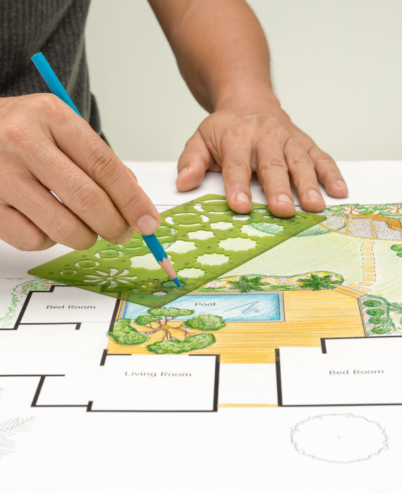
Inspection is the process of accurately measuring and mapping land boundaries, topography, and features using tools like GPS, total stations, and drones. It provides the foundational data needed for any construction or land-related project. Development planning builds on this data to design and organize the use of land for housing, infrastructure, commercial areas, and public services. Together, surveying and planning ensure that land is used efficiently, safely, and in accordance with regulations, supporting sustainable growth and urban development.
Related Project
LiDAR (Light Detection and Ranging) is a cutting-edge technology used by drone survey companies…
Drone technology is revolutionizing construction supervision by providing real-time aerial monitoring of project sites.…
GIS (Geographic Information System) and Remote Sensing are powerful tools used for land analysis…


