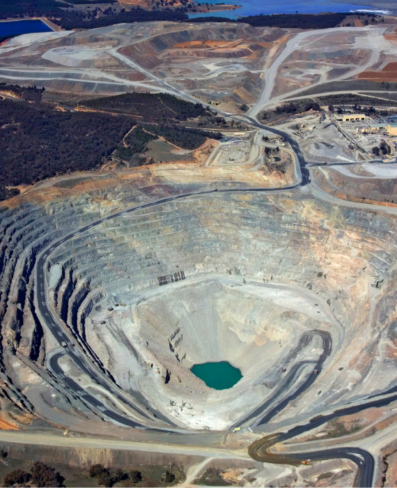
Often used to help locate underground resources, mining surveys play a crucial role in identifying and evaluating potential mining sites. These surveys utilize advanced geospatial and geotechnical techniques to minimize risks by ensuring that selected areas are rich in valuable minerals or resources before any excavation begins. Mining surveys not only aid in resource detection, but also provide essential data regarding mine layout, tunnel dimensions, geological features, and ground stability. Accurate surveying is critical for designing safe and efficient mine operations, preventing costly errors, and ensuring compliance with environmental and safety regulations. Modern mining surveys employ a combination of GPS, Total Station, LiDAR, and drone technology, enabling high-precision mapping even in challenging terrains. These tools allow engineers and planners to create 3D models, optimize drilling plans, and monitor site conditions in real-time. By delivering reliable data from the surface to deep underground, mining surveys are an indispensable part of exploration, development, and operational planning in the mining industry.
Often used to help locate underground resources, mining surveys play a crucial role in identifying and evaluating potential mining sites. These surveys utilize advanced geospatial and geotechnical techniques to minimize risks by ensuring that selected areas are rich in valuable minerals or resources before any excavation begins. Mining surveys not only aid in resource detection, but also provide essential data regarding mine layout, tunnel dimensions, geological features, and ground stability. Accurate surveying is critical for designing safe and efficient mine operations, preventing costly errors, and ensuring compliance with environmental and safety regulations. Modern mining surveys employ a combination of GPS, Total Station, LiDAR, and drone technology, enabling high-precision mapping even in challenging terrains. These tools allow engineers and planners to create 3D models, optimize drilling plans, and monitor site conditions in real-time. By delivering reliable data from the surface to deep underground, mining surveys are an indispensable part of exploration, development, and operational planning in the mining industry.
Related Project
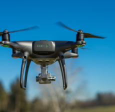
LiDAR (Light Detection and Ranging) is a cutting-edge technology used by drone survey companies…
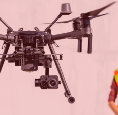
Drone technology is revolutionizing construction supervision by providing real-time aerial monitoring of project sites.…
Roof hen an unknown printer took a galley of type and scrambled itheiro make…
GIS (Geographic Information System) and Remote Sensing are powerful tools used for land analysis…

