LiDAR
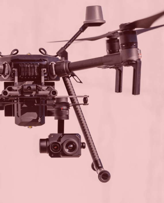
LiDAR (Light Detection and Ranging) is a cutting-edge technology used by drone survey companies to capture highly accurate 3D data of the earth's surface. By emitting laser pulses from a drone-mounted sensor and measuring the time it takes for them to return, LiDAR can generate detailed terrain models—even in areas with dense vegetation. It’s especially useful for topographic surveys, infrastructure planning, forestry analysis, and flood modeling. Compared to traditional methods, LiDAR offers faster data collection with higher precision.
Related Project
GIS (Geographic Information System) and Remote Sensing are powerful tools used for land analysis…
Drone technology is revolutionizing construction supervision by providing real-time aerial monitoring of project sites.…
Roof hen an unknown printer took a galley of type and scrambled itheiro make…

