


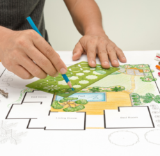
Related Project
Roof hen an unknown printer took a galley of type and scrambled itheiro make…
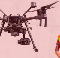
LiDAR (Light Detection and Ranging) is a cutting-edge technology used by drone survey companies…
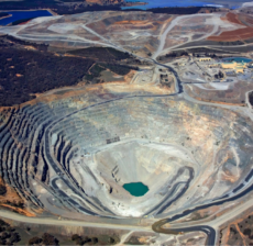
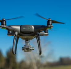

Drone technology is revolutionizing construction supervision by providing real-time aerial monitoring of project sites.…