Aerial Photogrammetry
Aerial photogrammetry is a technique used to create accurate maps, 3D models, and measurements from photographs taken by drones, airplanes, or satellites. By capturing overlapping images from the sky, specialized software can analyze the photos and reconstruct the Earth's surface. This method is widely used in fields like surveying, urban planning, construction, agriculture, and environmental monitoring. It’s a cost-effective and efficient way to gather spatial data over large areas.
Related Project
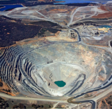
GIS (Geographic Information System) and Remote Sensing are powerful tools used for land analysis…
Roof hen an unknown printer took a galley of type and scrambled itheiro make…
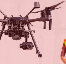
LiDAR (Light Detection and Ranging) is a cutting-edge technology used by drone survey companies…
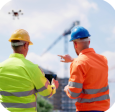
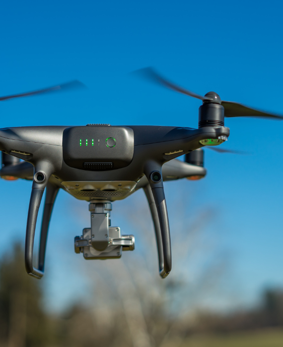
Drone technology is revolutionizing construction supervision by providing real-time aerial monitoring of project sites.…